Rice Nature Preserve
Wilbraham, Massachusetts
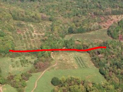
The Rice Nature Preserve, located east of Main Street in Wilbraham, was acquired through the cooperative efforts of former landowner Jesse Rice, the Town of Wilbraham, the Minnechaug Land Trust, and the Commonwealth of Massachusetts Self-Help Program. It abuts other existing Town-owned conservation lands located to the east.
The Minnechaug Land Trust(MLT) conducted a signature petition during 2004 to put the Community Preservation Act(CPA) on the ballot in Wilbraham. The CPA was adopted with a 1-½ % surtax on property taxes, or about $35 per year at the time for the average taxpayer. CPA funds may be used for open space, recreational facilities, historical preservation, and housing. Locally raised CPA funds are matched by the State, with 100% as the matching rate to date.
MLT also worked with the Town to obtain a State Self-Help grant to provide part of the funding for the purchase of the Rice property that became the Rice Nature Preserve(RNP), and conducted private fundraising.
In early May, 2005, at Town Meeting, the vote was nearly unanimous to authorize the Selectmen to purchase the Rice property as Town Conservation land. The purchase of the 150-acre parcel took place prior to the end of May.
RNP is currently managed by MLT under a land management agreement with the Town Conservation Commission.
Finally, in November 2006 the Town of Wilbraham signed a purchase and sale agreement to put the lower 90 acres of the farm under an Agricultural Preservation Restriction, which means that the land is protected from development while continuing to be farmed by the Rice family. The total payment was somewhat less than $1 million, of which $189,000 will be funded by the Town of Wilbraham through the Community Preservation Act tax adopted at Town Meeting.
Public Access
The public may use the Rice Nature Preserve for passive conservation and recreation purposes, subject to reasonable regulations by the Wilbraham Conservation Commission. Principal public access to the property is located at the main trailhead at the end of Highmoor Drive. Parking for eight cars is provided on the Highmoor Drive cul-de-sac.
Passive Recreation
Passive outdoor recreational activity includes hiking, cross country skiing, snowshoeing, educational studies, and nature observation.
Prohibited Activities- Expressly prohibited activities include:
- Using the property from dusk to dawn, except by permission of the Conservation Commission
- Operating any type of motor vehicle except as required for maintenance or handicapped access.
- Camping except by organized youth groups or others with Conservation Committee approval.
- Lighting campfires or other forms of open flame.
- Carrying firearms and hunting (except by permission of the Conservation Commission)
Property Maintenance
The Minnechaug Land Trust maintains the property under a land use and management plan with the Wilbraham Conservation Commission. Tax deductible donations for maintenance expenses can be made by sending a check to the Minnechaug Land Trust, PO Box 455, Hampden, MA 01036, indicating “Rice Nature Preserve Stewardship Fund” in the left hand corner.

The Trails
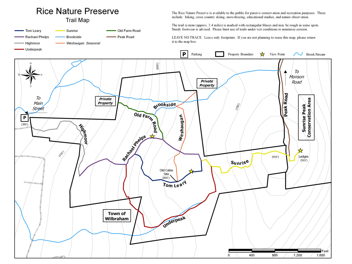
Highmoor Trail
Rachel Phelps Trail
Underpeak Trail
Tom Leary Rise
Sunrise Trail
Weshaugen
Brookside Trail
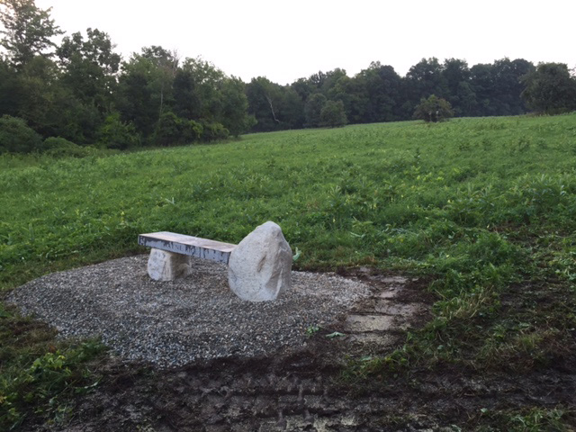
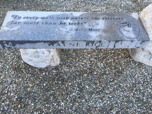
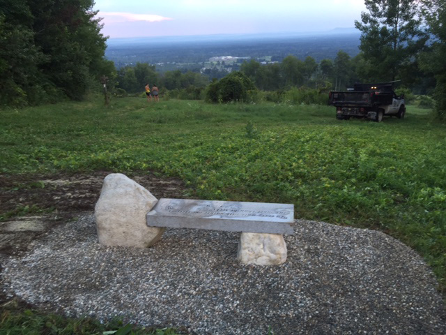
Dedication of the Bench at Rice Nature Preserve